Reference Maps on the American Civil War 1861-1865
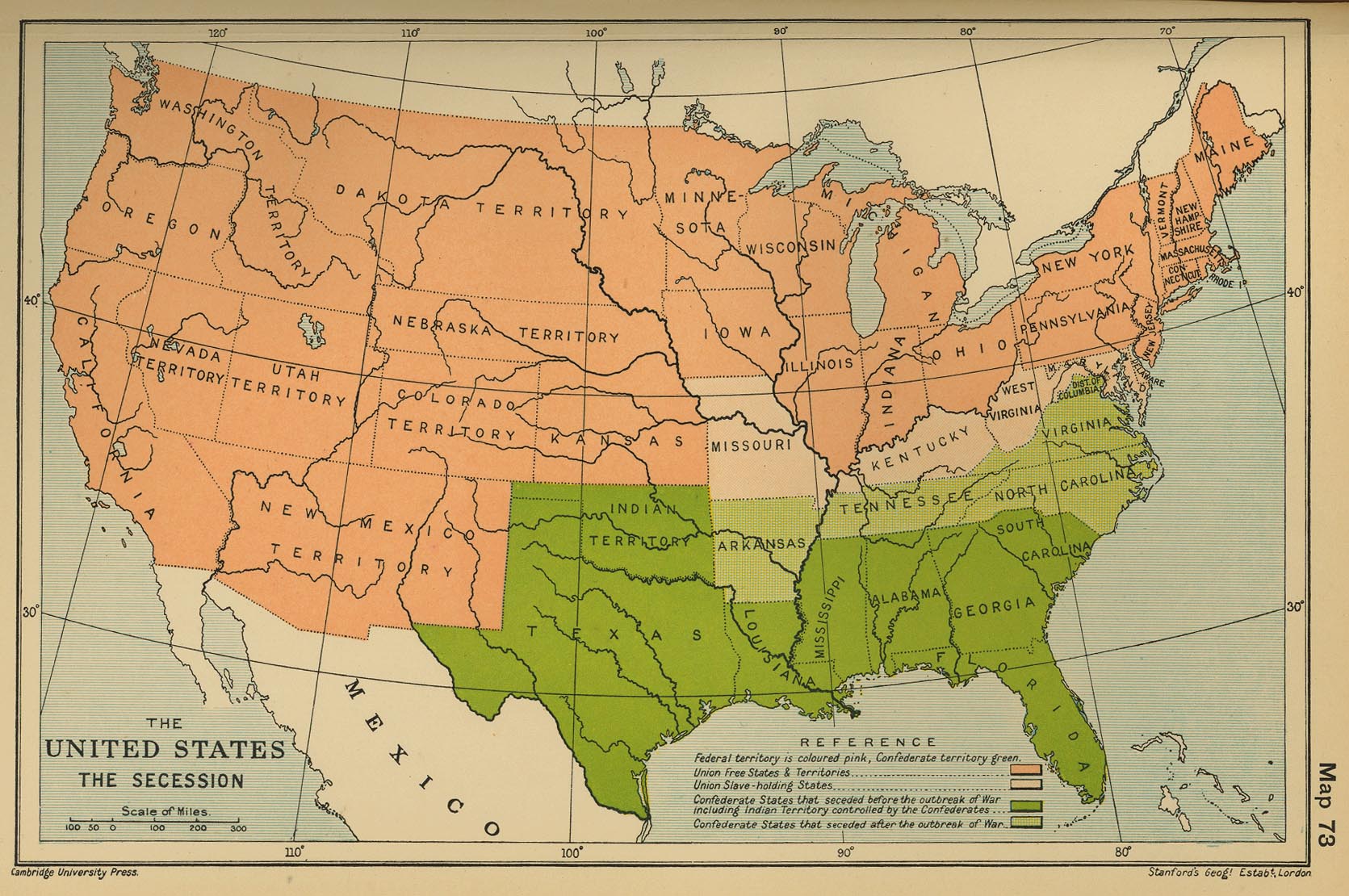
Map of the United States: The Secession
Map of the Seat of the Civil War 1861-1865; Inset: Vicinity of Gettysburg (Shepherd)
Map of the Civil War in the United States (Cambridge)
Map of the American Civil War: Principal Campaigns 1861-1865 (USMA)
Map of the American Civil War: Railroads (USMA)
Map of the First Bull Run Campaign 1861
Map of the First Battle of Bull Run - July 21, 1861
Map of the American Civil War: January-June 1862
Map of the Henry and Donelson Campaign: January 1862
Map of the Henry and Donelson Campaign: February 14, 1862
Map of the Henry and Donelson Campaign: February 15-16, 1862
Map of the Henry and Donelson Campaign: February 27, 1862
Map of the Shiloh Campaign: March 29, 1862
Map of the Battle of Shiloh - April 6, 1862
Map of the Battle of Shiloh - April 7, 1862
Map of the American Civil War: May 31, 1862
Map of the Battle of Harpers Ferry - September 15, 1862
Map of the Battle of Galveston - January 1, 1863
Map of the Battle of Sabine Pass - September 8, 1863
Map of the United States: Battle Sites 1689-1945

