|
Map Description
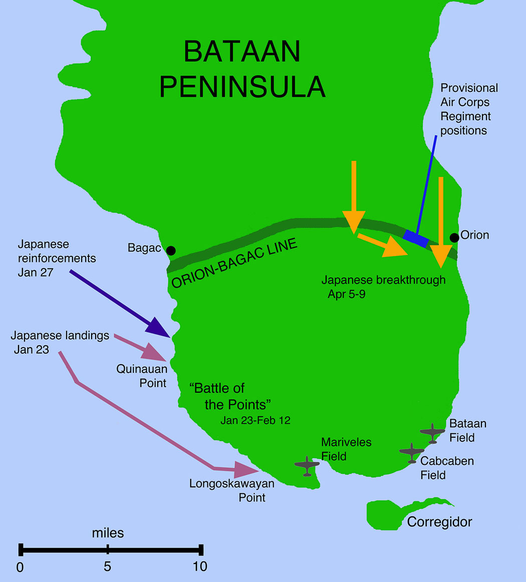
Historical Map of WWII -
Philippines, Bataan Peninsula
Illustrating
-
Battle of the Points January 23-February 12, 1942
Japanese breakthrough April 5-9
Japanese reinforcements
Japanese landings
Orion-Bagac Line
Corregidor
Bataan Field
Cabcaben Field
Mariveles Field
Quinauan Point
Longoskawayan Point
Credits
Courtesy of the National Museum
of the USAF.
Related Links
 About World War 2
WWII Timelines
About the Bataan Death
March
About World War 2
WWII Timelines
About the Bataan Death
March
Map of Japanese Landings on Luzon in December
1941
More History
 |
