|
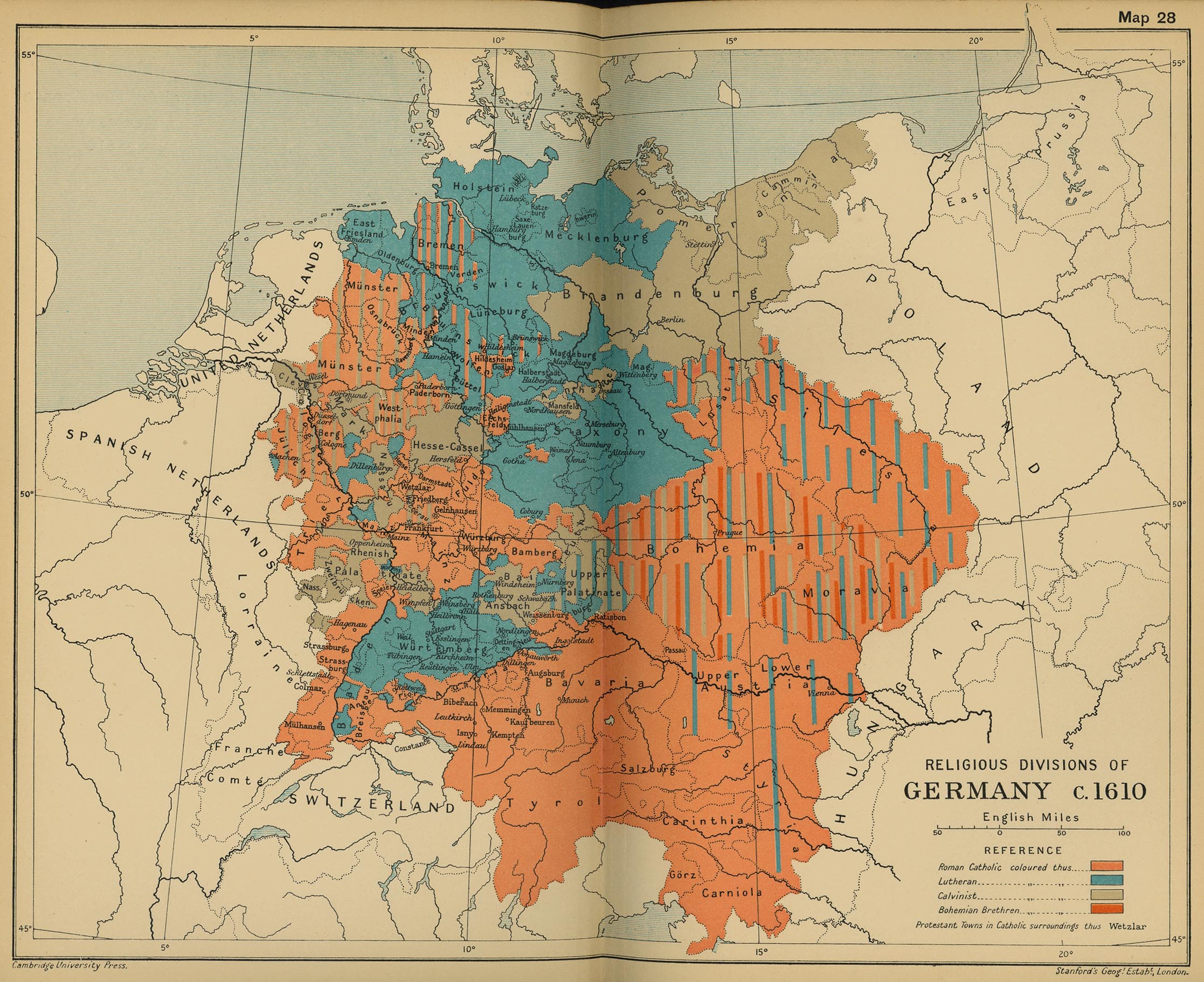
Map Description
Historical Map of the Religious
Divisions of Germany, c. 1610.
Illustrating
-
Roman Catholic
- Lutheran
- Calvinist
- Bohemian Brethren
- Protestant Towns in catholic surroundings
Credits
University of Texas at Austin.
Cambridge Modern History Atlas, 1912.
Related Maps
 Map of the Religious Situation in Europe about
1560
Map of the Religious Situation in Europe about
1560
More History
 |
