|
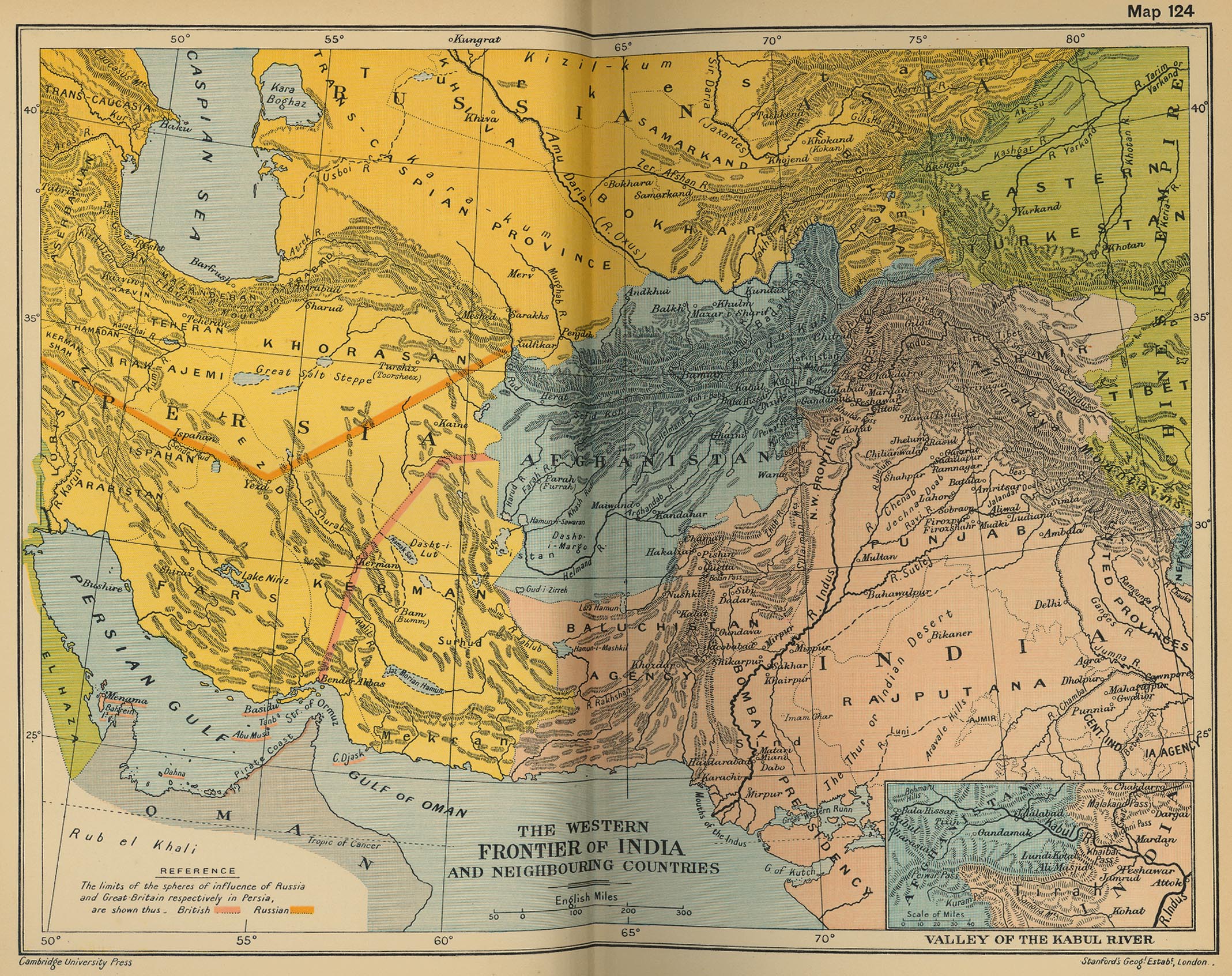
Map Description
Historical Map of the Western
Frontier of India and Neighboring Countries.
Illustrating
The
limits of the spheres of influence of Russia and Great Britain
respectively in Persia
Inset: Valley of the Kabul River
Credits
University of Texas at Austin.
From the Cambridge Modern History Atlas, 1912.
Related Maps
 Map of India and the Malay Archipelago,
1498-1580
Map of India 1700-1792
Map of India and the Malay Archipelago,
1498-1580
Map of India 1700-1792
Map of India: The Beginnings of the British
Dominion
Map of India in 1804: The Mysore & Maratha
Wars 1792-1804
Eastern
Frontier of India: French and English Expansion 1805-1907
Map of Northern India: The Mutiny 1857-1859
Map of India: British Expansion 1805-1910
More History
 |
