|
Map Description
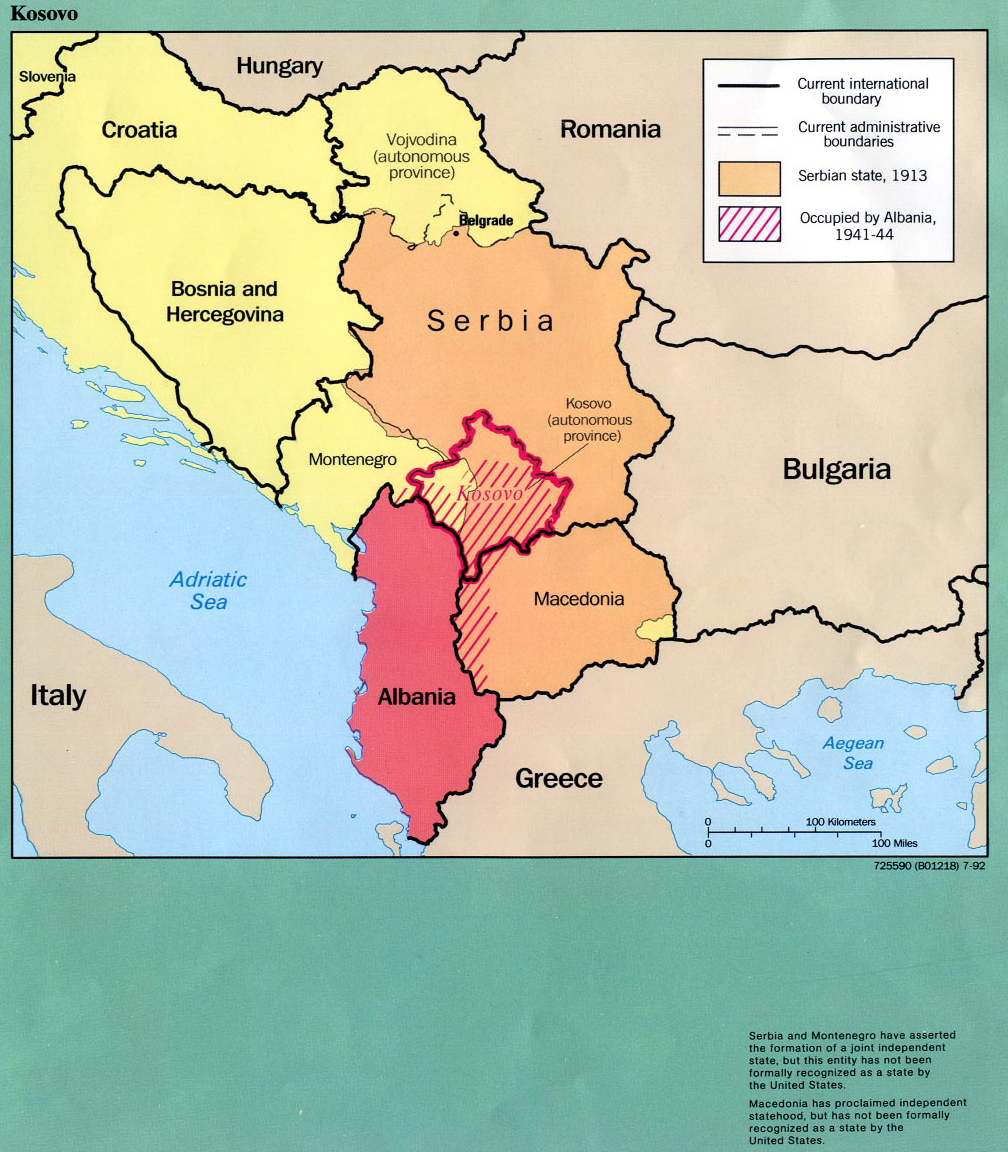
Map of Kosovo 1913-1992
Illustrating
-
Current international boundary
- Current administrative boundaries
- Serbian state, 1913
- Occupied by Albania 1941-1944
Serbia and Montenegro have asserted the formation of a joint
independent state,
but this entity has not been formally recognized as a state by
the United States.
Macedonia has proclaimed independent statehood, but has not been
formally recognized as a state by the United States.
Slovenia
Coratia
Hungary
Bosnia and Hercegovina
Vojodina (autonomous province)
Serbia
Romania
Montenegro
Kosovo
Macedonia
Albania
Greece
Bulgaria
Italy
Credits
From Former Yugoslavia: A
Map Folio U.S. Central Intelligence Agency 1992.
Perry-Castaņeda Library Map Collection, The University of Texas at
Austin.
Related Maps
 Map of the Balkan Peninsula 1878-1910
 Map of the distribution of races in the Balkan
Peninsula and Asia Minor 1911
 Map of WWII: The Balkans 1941
 Map of WWI: Invasions of Serbia - 1914
 Map of WWI: Serbia and the Salonika Expedition
- 1915

More History
 |