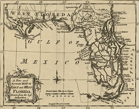
Illustrating "A New and Accurate Map of East and West Florida,
Drawn from the best Authorities"
From
the London Magazine; or, Gentleman's Monthly Intelligencer
(March, 1765), vol. 34.
Please note: The northern border of West Florida on
this map was valid from 1763 until June 6, 1764.
It
was then moved north to 32° 28' latitude. See more
 here.
here.
Small
preview below. Scroll down to see the large version of the map.
