|
Map Description
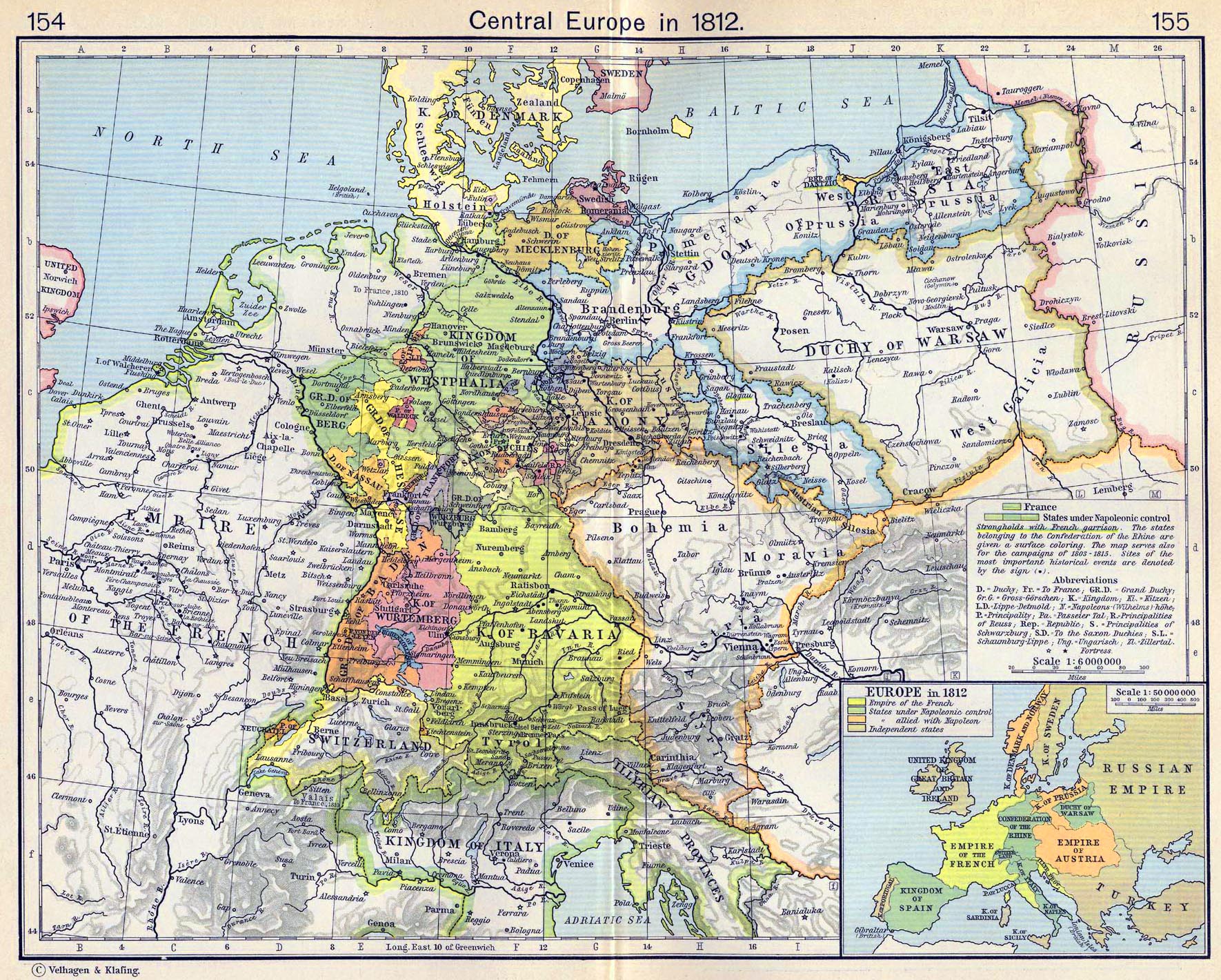
History map of Central Europe in 1812.
Illustrating
- France
- States under Napoleonic control
- Strongholds with French garrison
- Sites of the most important historical events
The states belonging to the
 Confederation of the Rhine
are given a surface coloring.
Confederation of the Rhine
are given a surface coloring.
The map serves also for the campaigns of 1803-1815.
Inset: Europe in 1812.
Illustrating
- Empire of the French
- States under Napoleonic control
- States allied with
Napoleon I
- Independent states
Credits
University of Texas
at Austin. Historical Atlas by William Shepherd (1911).
Related Links
About the Napoleonic
Wars
More History
 |
