|
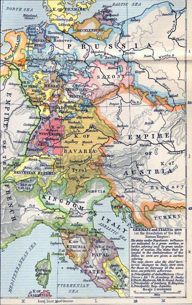
Map Description
History map of Germany and
Italy in 1806 (at the dissolution of the
 Holy Roman Empire).
The states under Napoleonic influence
are indicated by a green surface, or border, coloring
and by green underlining of names. The states that belonged to the
Confederation of the
Rhine in 1806 are given a surface coloring.
The map shows also the chief territorial changes in Italy 1806-1808.
For those in Germany at
the same time see
this map here.
Credits
University of Texas at Austin.
Historical Atlas by William Shepherd (1911).
Related Links
About the Napoleonic
Wars
More History
 |
